#Drones enable the first detailed mapping of the High Plateaus Basin in the Moroccan Atlas
“#Drones enable the first detailed mapping of the High Plateaus Basin in the Moroccan Atlas”

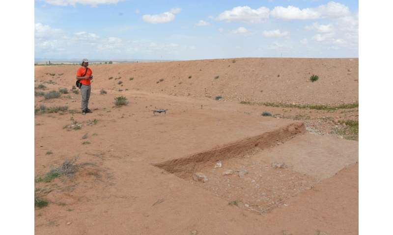
The Centro Nacional de Investigación sobre la Evolución Humana (CENIEH) has led a paper just published in the Journal of Maps reporting the use of drones to capture high-resolution aerial images and topographies of the High Plateaus Basin, a region in Eastern Morocco that is key to understanding human evolution in North Africa during the Quaternary.
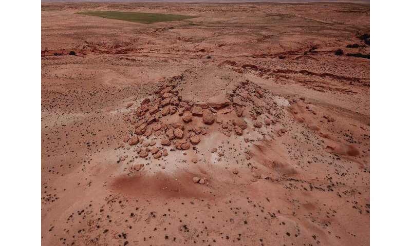
“We used the drones from our Digital Mapping and 3-D Analysis Laboratory to analyze how the landscape in this intramountain basin in the Atlas chain has evolved, and thus distinguish the different geological formations,” says the lead author of this work, Alfonso Benito Calvo, head of the Geomorphology and Formation Processes line of research at CENIEH.
In the zone studied, there are abundant geological materials on great plains marked by fluvial channels that led, finally, to the formation of shallow lakes and wetlands. From that moment, deep valleys were incised, leaving fluvial terraces and buttes formed under arid conditions with frequent climatic changes.
“Numerous archaeological remains of different chronologies are preserved today in this geological record, indicating the great potential of the region for studying the archaeological history of North Africa from the Pliocene to the present day,” says Benito Calvo.

More information:
A. Benito-Calvo et al. Geomorphological analysis using small unmanned aerial vehicles and submeter GNSS (Gara Soultana butte, High Plateaus Basin, Eastern Morocco), Journal of Maps (2020). DOI: 10.1080/17445647.2020.1773329
Provided by
CENIEH
Drones enable the first detailed mapping of the High Plateaus Basin in the Moroccan Atlas (2020, June 19)
retrieved 19 June 2020
from https://phys.org/news/2020-06-drones-enable-high-plateaus-basin.html
This document is subject to copyright. Apart from any fair dealing for the purpose of private study or research, no
part may be reproduced without the written permission. The content is provided for information purposes only.
If you want to read more Like this articles, you can visit our Science category.
if you want to watch Movies or Tv Shows go to Dizi.BuradaBiliyorum.Com for forums sites go to Forum.BuradaBiliyorum.Com


