#New Space satellite pinpoints industrial methane emissions
“#New Space satellite pinpoints industrial methane emissions”
")
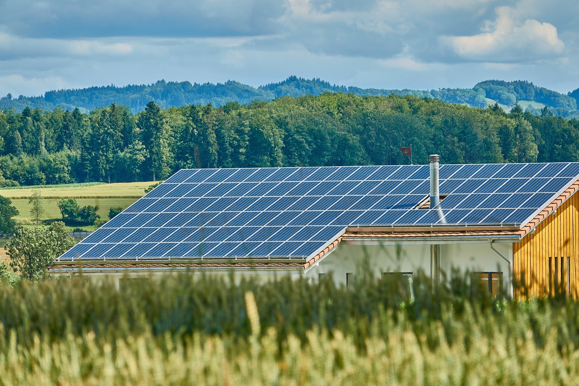
Methane may not be as abundant in the atmosphere as carbon dioxide, but with a global warming potential many times greater than carbon dioxide, monitoring and controlling industrial emissions of this potent gas is imperative to helping combat climate change. GHGSat is a New Space initiative that draws on Copernicus Sentinel-5P data for mapping methane hotspots—and its Claire satellite has now collected more than 60 000 methane measurements of industrial facilities around the world.
Copernicus Sentinel-5P’s role is to map a range of atmospheric gases around the globe every 24 hours. Its Tropomi spectrometer delivers data with a resolution as high as 7 km × 5.5 km for methane, but these data can’t be used to pinpoint specific facilities responsible for emissions.
However, GHGSat’s demonstration satellite ‘Claire’ can, but it is helped with a bit of guidance from Sentinel-5P.
Drawing on Sentinel-5P data, the GHGSat tasks Claire to home in on methane point sources. Using this approach, GHGSat has been able to attribute large methane leaks to specific industrial facilities. This is catching the attention of managers responsible for emissions from industries such as oil and gas, waste management, mining, agriculture and power generation.
The Climate Investments arm of the Oil & Gas Climate Initiative (OGCI) has taken particular interest, including an investment in GHGSat.
Managing Director of Ventures for OGCI Climate Investments, Rhea Hamilton, says, “GHGSat’s methane monitoring product has achieved impressive results and is attractive to oil and gas operators.

“The company has identified significant methane leaks and supported operators in understanding the results, prompting corrective action. OGCI Climate Investments looks forward to watching GHGSat grow to serve more operators.”
Following on from the Claire demonstrator, GHGSat plans to have a constellation of 10 satellites operating by 2022. The next satellite, Iris, which will be able to spot even smaller methane leaks, is one of the 53 satellites that will be launched on the Vega VV16 flight, scheduled for mid-August.
ESA’s Director of Earth Observation Programmes, Josef Aschbacher, commented, “Copernicus Sentinel-5P and Claire working together is a prime example of institutional satellites working hand in hand with commercial satellites, a concept that is taking Earth observation into a new era.
“We are very much looking forward to seeing Iris launch as a next step towards better greenhouse gas monitoring.”
Iris will offer a spatial resolution of 25 m compared to Claire’s 50 m resolution, therefore allowing methane to be traced even more accurately.

Alongside augmented satellite performance coming from Iris, GHGSat is addressing a growing demand for analytics services and predictive models. For example, dedicated methane analytics and reporting is possible for asset managers and stakeholders responsible for environmental, social and governance (ESG) factors for understanding investment risk and growth opportunity.
GHGSat President and CEO, Stephane Germain, makes analytics a priority to answer specific market needs. He comments, “GHGSat’s analytics are of growing interest for industrial operators in all sectors, as they are accelerating their efforts to mitigate emissions. With this in mind, GHGSat is building on its expertise in Canada and has advanced plans for an international analytics centre delivering for ESG in the financial sector.”
In anticipation of the data from Iris, ESA, the Canadian Space Agency and GHGSat have teamed up through an announcement of opportunity to make 5% of Iris data freely available for research purposes.
Citation:
New Space satellite pinpoints industrial methane emissions (2020, July 29)
retrieved 29 July 2020
from https://phys.org/news/2020-07-space-satellite-industrial-methane-emissions.html
This document is subject to copyright. Apart from any fair dealing for the purpose of private study or research, no
part may be reproduced without the written permission. The content is provided for information purposes only.
If you want to read more Like this articles, you can visit our Science category.
if you want to watch Movies or Tv Shows go to Dizi.BuradaBiliyorum.Com for forums sites go to Forum.BuradaBiliyorum.Com