#Big data delivers important new tool in conservation decision making
“#Big data delivers important new tool in conservation decision making”

The Harry Butler Institute has collaborated with researchers around the world to develop a new tool to inform conservation decisions across Europe. The research is poised to have a direct and immediate impact—on both science and practice.
Accurately identifying different habitats is essential for effective conservation. If we know what constitutes the environment around us, we can put plans and policies in action to protect it and manage our natural resources wisely.
This makes the classification systems used to identify different habitats crucial to monitoring, management, planning and restoration efforts. However, a land mass as immense as Europe is difficult to accurately and comprehensively classify into different habitats.
Now, Murdoch Professor Ladislav Mucina has collaborated with colleagues from Europe to develop a system aimed at identifying habitats based on their biodiversity.
“This was one of the dreams we had when we started the European Vegetation Survey in the nineties—to show people how to identify and describe vegetation which characterises different land habitats, so they can contribute to both regional conservation efforts and inform nature management policies across the European Union.”
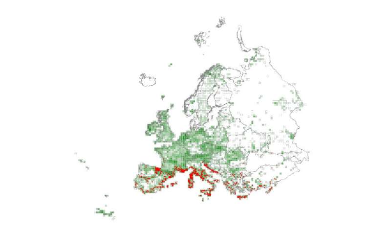
The new expert system they’ve developed identifies habitats based on their unique species composition and geographic location. The maps generated form part of the European Nature Information System (EUNIS), which brings together environmental data to inform European and global biodiversity strategies.
Professor Mucina’s research, recently published in Applied Vegetation Science, developed formal definitions for 199 different habitats, including 25 coastal, 18 wetland, 55 grassland, 43 shrubland, 46 forest and 12 man‐made habitats.
The team used these definitions to develop a classification tool, EUNIS‐ESy, which was able to assign habitats to 1,125,121 vegetation plots across Europe.

“This enables consistent communication between different networks of experts, including those describing habitats through vegetation sampling, those working with satellite imagery, and those developing and evaluating various policies,” explained Professor Mucina.
The research builds on his previous work to unify data collected in individual countries and delivers a tool for nature conservation across the European Union. Professor Mucina is a globally recognised expert in vegetation and habitat classification and one of the grandfathers of the European Vegetation Survey.
“Europe has very strong roots in vegetation science, which provides the rich data we needed to develop this new system. It’s also a very fragmented and densely populated part of the world, meaning many areas have been modified and new habitats created by local inhabitants.
Professor Mucina said it’s important for every region to have such a system and hopes to secure government and industry support to replicate it for Western Australia.
“It’s a tremendous data project, but one that’s crucial for effective conservation. And that’s why I came to Western Australia—this is what we need—a comprehensive vegetation classification system, vegetation map and habitat system. All are vital elements of each country’s management infrastructure.
“It’s especially important to inform environmental assessment and policy in a place so active in mining. We need the vegetation survey, the maps and the habitat classification system to manage our environment.”
The research is the first time EUNIS habitats have been characterized in terms of their species composition and distribution and presents valuable new data to inform conservation planning, monitoring and assessment.
“You can tell a lot about the past based on the vegetation in an area. You can also use it to predict what’s going to happen in the future.”
More information:
Milan Chytrý et al. EUNIS Habitat Classification: Expert system, characteristic species combinations and distribution maps of European habitats, Applied Vegetation Science (2020). DOI: 10.1111/avsc.12519
Big data delivers important new tool in conservation decision making (2020, August 27)
retrieved 27 August 2020
from https://phys.org/news/2020-08-big-important-tool-decision.html
This document is subject to copyright. Apart from any fair dealing for the purpose of private study or research, no
part may be reproduced without the written permission. The content is provided for information purposes only.
If you want to read more Like this articles, you can visit our Science category.
if you want to watch Movies or Tv Shows go to Dizi.BuradaBiliyorum.Com for forums sites go to Forum.BuradaBiliyorum.Com


