#NASA infrared data shows Cristina strengthening
“#NASA infrared data shows Cristina strengthening”
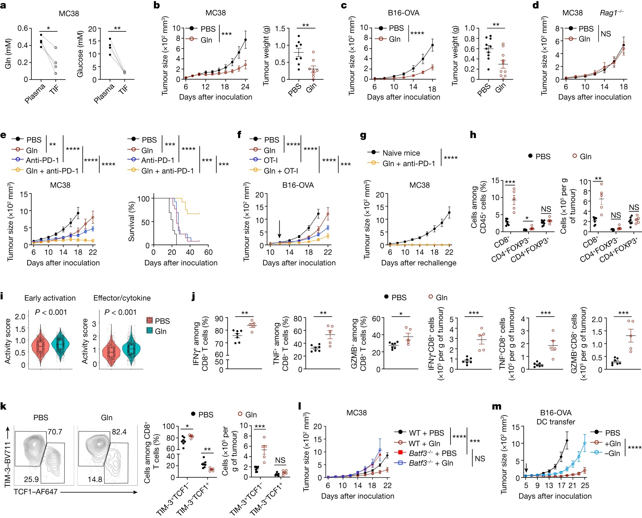
, the MODIS instrument aboard NASA's Aqua satellite gathered temperature information about Tropical Storm Cristina's cloud tops. MODIS found a small area of powerful thunderstorms (red) where temperatures were as cold as or colder than minus 70 degrees Fahrenheit (minus 56.6 Celsius). Credit: NASA/NRL")
NASA’s Aqua satellite revealed better organization and colder cloud top temperatures in Tropical Storm Cristina, indications that the storm was strengthening.
On July 10 at 4:35 a.m. EDT (0835 UTC), the MODIS instrument aboard NASA’s Aqua satellite analyzed Tropical Storm Cristina’s cloud tops in infrared light. Infrared data provides temperature information, and the strongest thunderstorms that reach high into the atmosphere have the coldest cloud top temperatures.
The Moderate Resolution Imaging Spectroradiometer or MODIS instrument aboard NASA’s Aqua satellite found that the most powerful thunderstorms were east and south of the center of circulation, where temperatures were as cold as or colder than minus 70 degrees Fahrenheit (minus 56.6 Celsius). These cloud top temperatures had become colder than they were over the previous day. Cloud top temperatures that cold indicate strong storms with the potential to generate heavy rainfall.
The National Hurricane Center noted, “Cristina has become better organized during the past several hours. A curved band wraps almost completely around the center, and a ragged eye has occasionally been apparent in satellite images.”
At 5 a.m. EDT (0900 UTC) on July 10, the center of Tropical Storm Cristina was located near latitude 18.8 degrees north and longitude 113.0 degrees west. Cristina is far from land and about 345 miles (560 km) southwest of the southern tip of Baja California. Cristina was moving toward the west-northwest near 12 mph (19 kph) and this general motion with a gradual bend to the west is expected during the next few days. The estimated minimum central pressure was 993 millibars.
Maximum sustained winds are near 70 mph (110 kph) with higher gusts. The National Hurricane Center indicated that Cristina could become a hurricane later today; however, a weakening trend should begin by tonight.
Typhoons/hurricanes are the most powerful weather events on Earth. NASA’s expertise in space and scientific exploration contributes to essential services provided to the American people by other federal agencies, such as hurricane weather forecasting.
Citation:
NASA infrared data shows Cristina strengthening (2020, July 10)
retrieved 10 July 2020
from https://phys.org/news/2020-07-nasa-infrared-cristina.html
This document is subject to copyright. Apart from any fair dealing for the purpose of private study or research, no
part may be reproduced without the written permission. The content is provided for information purposes only.
If you want to read more Like this articles, you can visit our Science category.
if you want to watch Movies or Tv Shows go to Dizi.BuradaBiliyorum.Com for forums sites go to Forum.BuradaBiliyorum.Com