#Model links patterns in sediment to rain, uplift and sea level change
“#Model links patterns in sediment to rain, uplift and sea level change”
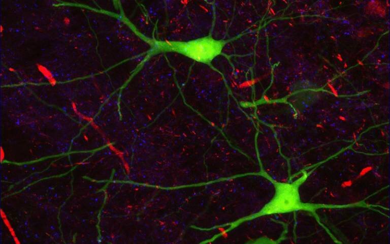
 and erosion/deposition (right). Credit: Jinyu Zhang/ The University of Texas at Austin.")
Forces that shape the Earth’s surface are recorded in a number of natural records, from tree rings to cave formations.
In a recent study, researchers from The University of Texas at Austin show that another natural record—sediments packed together at basin margins—offers scientists a powerful tool for understanding the forces that shaped our planet over millions of years, with implications on present day understanding
The study was published in the journal Geology and uses a computer model to connect distinct patterns in the sedimentary deposits to shifts in climate and tectonic activity.
“We are trying to find a way to distinguish the tectonics and the climate signals,” said lead author Jinyu Zhang, a research associate at UT’s Bureau of Economic Geology. “By using this numerical model we suddenly have this power to simulate the world under different tectonics and climate.”
Zoltán Sylvester and Jacob Covault, both research scientists at the bureau, co-authored the paper.
Geoscientists have long looked to sedimentary basins for clues about Earth’s past climate. That’s because sediment supply is closely linked to environmental factors, such as rainfall or snowfall, that influence sediment creation through erosion and sediment transport across a landscape and into a basin. Tectonic factors also influence sediment creation, with increasing uplift associated with more sediment and decreasing uplift with less.
However, despite knowledge of sediment supply being linked with climate and tectonics, the researchers said little is known about how changes in these phenomena directly influence how sediment is deposited along basin margins over long time scales.
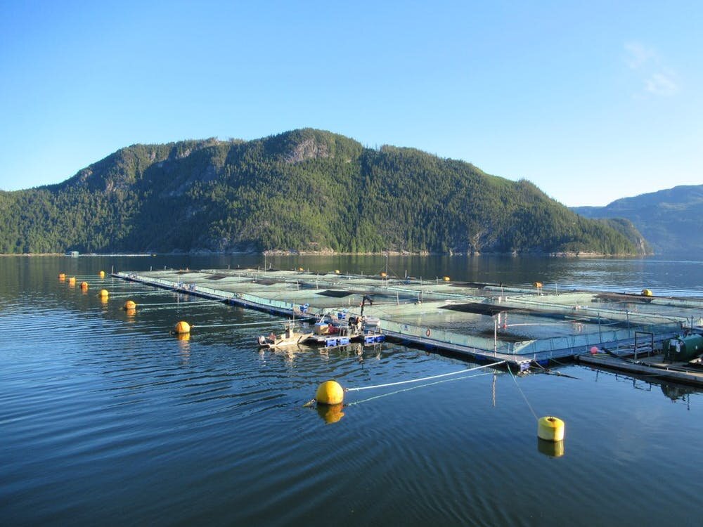
This study changes that, with Zhang using the open-source computer program pyBadlands to create a “source-to-sink” 3-D model that tracks how changes in precipitation, tectonic uplift and sea level influence sediment erosion and deposition. The model uses topography inspired by the Himalaya Mountains and Indus River Delta to track the sediment as it makes its way from the mountains, through a river system, and settles into a basin margin over millions of years.
 and erosion/deposition (right). Credit: Jinyu Zhang/ The University of Texas at Austin.")
“This is one of the first [models] to put the landscape evolution part with the stratigraphic response, depositional response, and do it in 3-D,” Covault said. “Jinyu has made a really great step in putting this all together.”
The researchers ran 14 different scenarios—each with a different climatic, tectonic, and sea level settings—over a simulated time period of 30 million years to investigate changes in landscape topography and sediment deposition.
The different scenarios created distinct patterns in sediment deposition, which allowed the researchers to draw general conclusions about how tectonic and climatic factors affect basin margin growth. For example, changes in uplift take millions of years to affect change in the basin margin sediments, but once those changes are in effect, they set a new baseline for behavior. In contrast, changes in precipitation cause much more abrupt change, followed by a return to the depositional behavior observed before the climate shift.
The scenarios showed that sea level could potentially complicate the delivery of the signal of tectonic change into the basin. For example, an increase in sea level flooded coastal regions and interfered with sediment reaching a basin margin. But when this scenario was paired with increased precipitation, the sediment supply was large enough to make it to the basin margin.
Gary Hampson, a professor at Imperial College London who was not part of the study, said that the model provides important guidelines for geoscientists looking to reconstruct Earth’s past.
“The results increase the confidence with which geoscientists can interpret tectonic and climatic histories in the geologic archives of basin margins,” he said.
Zhang spent the past two years learning the programming language Python so he could use the pyBadlands software, which was developed by the University of Sydney’s Tristan Salles.
Sylvester, who leverages similar tools to study erosion and sedimentation in river systems, said that the computing tools available to geoscientists are making long-standing yet fundamental questions in geosciences more accessible than ever.
“It’s an exciting time,” he said. “It’s increasingly easier to investigate the stratigraphic record in a quantitative way.”
More information:
Jinyu Zhang et al, How do basin margins record long-term tectonic and climatic changes?, Geology (2020). DOI: 10.1130/G47498.1
Model links patterns in sediment to rain, uplift and sea level change (2020, July 27)
retrieved 27 July 2020
from https://phys.org/news/2020-07-links-patterns-sediment-uplift-sea.html
This document is subject to copyright. Apart from any fair dealing for the purpose of private study or research, no
part may be reproduced without the written permission. The content is provided for information purposes only.
If you want to read more Like this articles, you can visit our Science category.
if you want to watch Movies or Tv Shows go to Dizi.BuradaBiliyorum.Com for forums sites go to Forum.BuradaBiliyorum.Com